Ultra En Pente Douce Day 4: Saint Benoit du Sault to Eguzon (45.4km)
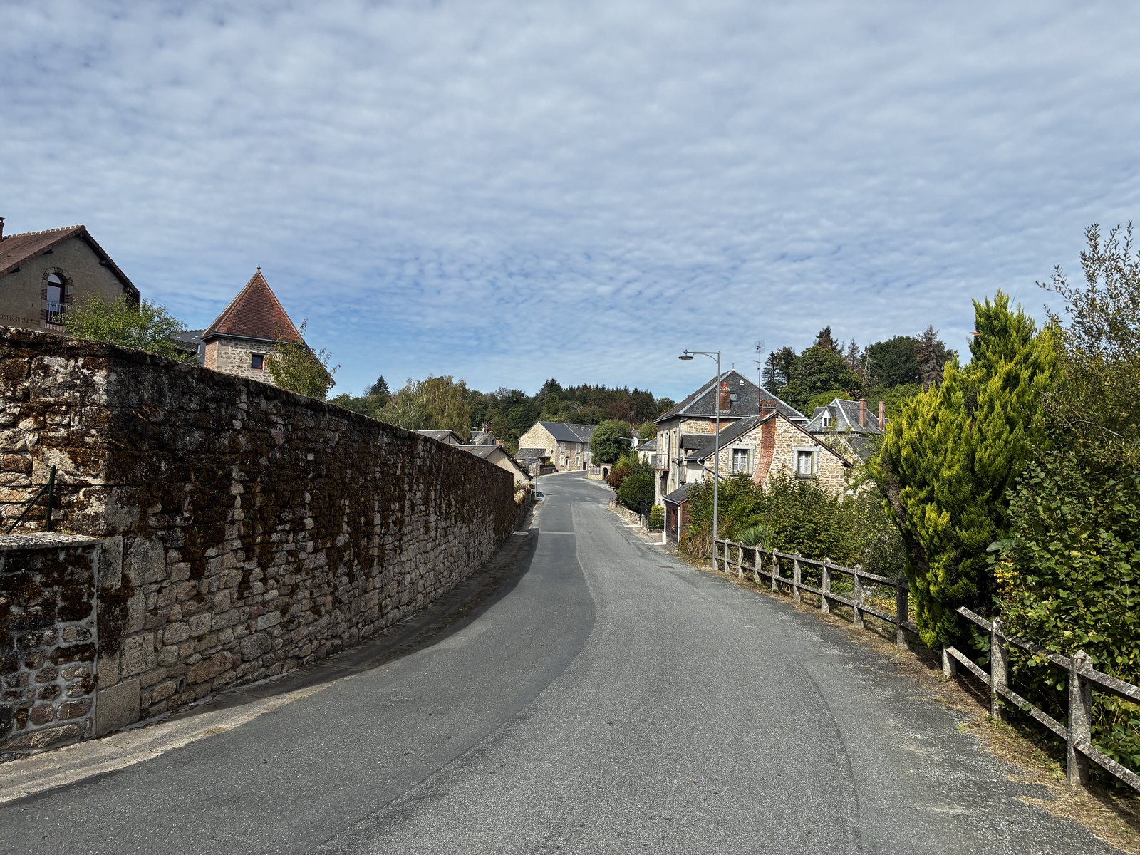
Oooh that was a tough one! Things did not start out well today: I had another poor sleep, for no particular reason - the accomodation was great, it was quiet, the temperature was perfect, but my brain decided to solve the world's problems and ust wouldn't settle down. I recall still being awake at midnight (after putting my head down around 10pm), and with a couple of bathroom breaks through to the 6am wake-up, I did not wake up feeling refreshed. Thankfully, the coffee was strong and free-flowing at breakfast! A late-ish start today at 8.30am, leaving plenty of time to get ready. The morning temperature was perfect, and our group bounded off enthusiastically from the night's accomodation. Although I set off at good pace, the group quickly split, with most ahead of me and out of sight within 10 minutes. Perhaps it was the shorter day, perhaps they had a better sleep than me, I don't know! But I was not tempted to push things any harder than I needed to. We followed a couple of small trails to emerge on the other side of the old town, granting a last opportunity to get a photo across the river. We were then on to small (sealed) roads winding our way across the countryside. A bit of a change in the scenery today, fewer sunflower fields - although I did notice a lot of the fields had been ploughed-in, so perhaps they'd harvested already. Into the first aid station at around 10km. By this point I'd realised that I wasn't going to be moving as well as the last couple of days. My left shoelaces needed loosening (suggesting some swelling in that foot) and my left achilles initially felt like it had given up on life (but that thankfully came good within a km or two from the start). Having been in this situation before - a tired body and a few nights of bad sleep - I decided early on that it was a day for good decisions: no pushing things hard, or trying to chase down those ahead of me down. It meant going around 20s/km slower, but I think a wise choice given the big day we have tomorrow. And it's been getting warmer by the day (26 today) - having come a cold Perth winter, I've definitely been feeling the heat. A little sunburn yesterday didn't help either. It's all a bit of a blur ... fields, farms, small villages and three aid stations in total today. I slathered myself in sunscreen at aid two, and hunted down every bit of shade along the way. Plenty of undulation, nothing nasty but steep enough to require moving to a walk. I had a conversation with a gaggle of geese - who were not happy about me trying to take a photo & video. When I turned around the farm dog was giving me some side-eye too, I think it was ready to tell me off if I bothered the geese any more! After the final aid station, we had some fairly exposed roads to run along (by this time it was past 1pm, and the sun was blazing), but with about 3km to go dropped onto some single trails the meandered alongside the river as we approached Éguzon. I really enjoyed this bit, although care was required with foot placement in a couple of wet & muddy spots. Looks like a lovely town that clearly draws a lot of water activities. Tonights accomodation is a recently completed hostel, I'm sharing with JB in an air conditioned room with it's own ensuite. Fingers crossed I can get a good night's sleep ahead of tomorrow's 65km. Stats for today: 45.40km , 5:36:12, 712m elevation. Photo Gallery
Ultra En Pente Douce Day 3: Lathus to Saint Benoit du Sault (53.2km)
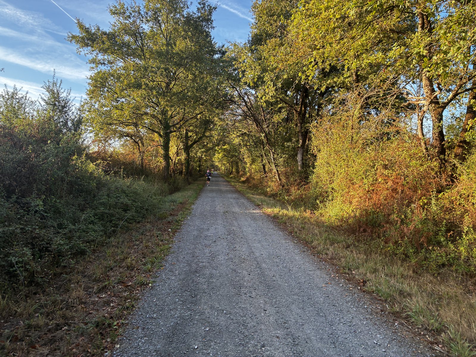
Of all the nights that I should have had a great sleep it was last night -- room to myself, dead quiet. But it wasn't to be, I tossed, I turned, it was warm and still and I was imaging I was being bitted. Still awake at 11.30am with a planned wakeup at 6am, sleep did not come easy. Ai-yai-yai! A basic breakfast of cereal and (bitter) coffee this morning served in the cafe/restaurant. The coffee may not have been great, but three bowls of it sure did get me wide awake. With a planned start at 8am there was plenty of time to pack up and get myself ready, and I managed a birthday call to Andi on the way to the start line. It was a rather cold start with some wearing long-sleeve tops for the first leg. Following the river briefly as we left the campsite before turning up a sharp hill and climbing out of the valley into a mist. It was a great way to get the day going. A good deal of today's elevation (which, in total, was not actually that much) was on the first leg - I managed a steady shuffle for the most part, only breaking into a walk whenever that proved more efficient that running up the hills. With clear blue skies, the first couple of hours was really enjoyable, passing mostly through farmland and the occasional small village. Aid stations stops have become pretty efficient. Today I used Tailwind between aid stops 1-2 (~10-20km) and stops 3-4 (~30-40km), taking in half an egg, some fruit and bread w/ cheese at each aid station, and usually leaving promptly with a handful of chips and a couple of oatmeal biscuits. Highlights today included a couple of very friendly herds of cows, a selfie with a horse, a dead badger (only because I can't recall ever seeing a badger before), a great chat with Jennifer, and some beautiful buildings in a couple of villages that we passed through. Overall I maintained a really consistent pace today, was a lot more steady than the last two days, and only dropped my overall pace in the last section with had a fair few hilly trail sections. It has warmed to about 25 degrees today, no real cover from clouds. And it was super-still -- we passed quite a few stationary wind turbines. As midday came and went I would move to whatever part of the road offered some shade (thankfully we didn't encounter too many cars, although it was a bit busier on the roads that yesterday -- my understanding is that the French kids went back to school today which might be part of the reason behind that). We finished the last km or so weaving through the town of Saint Benoit du Sault where our wonderful RD Gilles lives. Approaching from one side, we crossed a bridge over the river (that looked a lot like a moat) and climbed up into the town, zigging and zagging down old roads, between beautiful buildings and into the heart of town, before a short downhill run to the campgrounds. It was a relief to be done, the sun felt like it was blazing by this time and I just wanted to get my shoes off and get into the shower. After a brief relax, Jennifer and I wandered into town for a coffee and beer, grabbed some sunscreen & after-care from the pharmacy and hit the local supermarket for some snacks. I introduced her to the absolute delight that are Snickers Gold icecreams - we stood outside the supermarket scoffing them down. I ate three, she ate two. Yummmm. Before dinner we enjoyed appetisers in the accomodation's courtyard: beer, wine, soft drinks, bread, spreads, chips & peanuts, a great time for socialising. Sitting down for an outdoor meal around 7pm, starters was a cucumber dish, grated carrot in a vinaigrette and fresh tomato covered in grated mozzarella. Mains was roast potatoes, sausages and what I assume was pork steaks (I did not partake in the latter). And desert was a small slice of fruit flan. Despite the tough start to the day (with little sleep), it was a great run -- I'm really pleased with how my body is holding together and the small improvements in pace and endurance each day. Stats for today: 53.60km, 6:21:54, 649m elevation. Photo Gallery
Ultra En Pente Douce Day 2: Queaux to Lathus (47.5km)
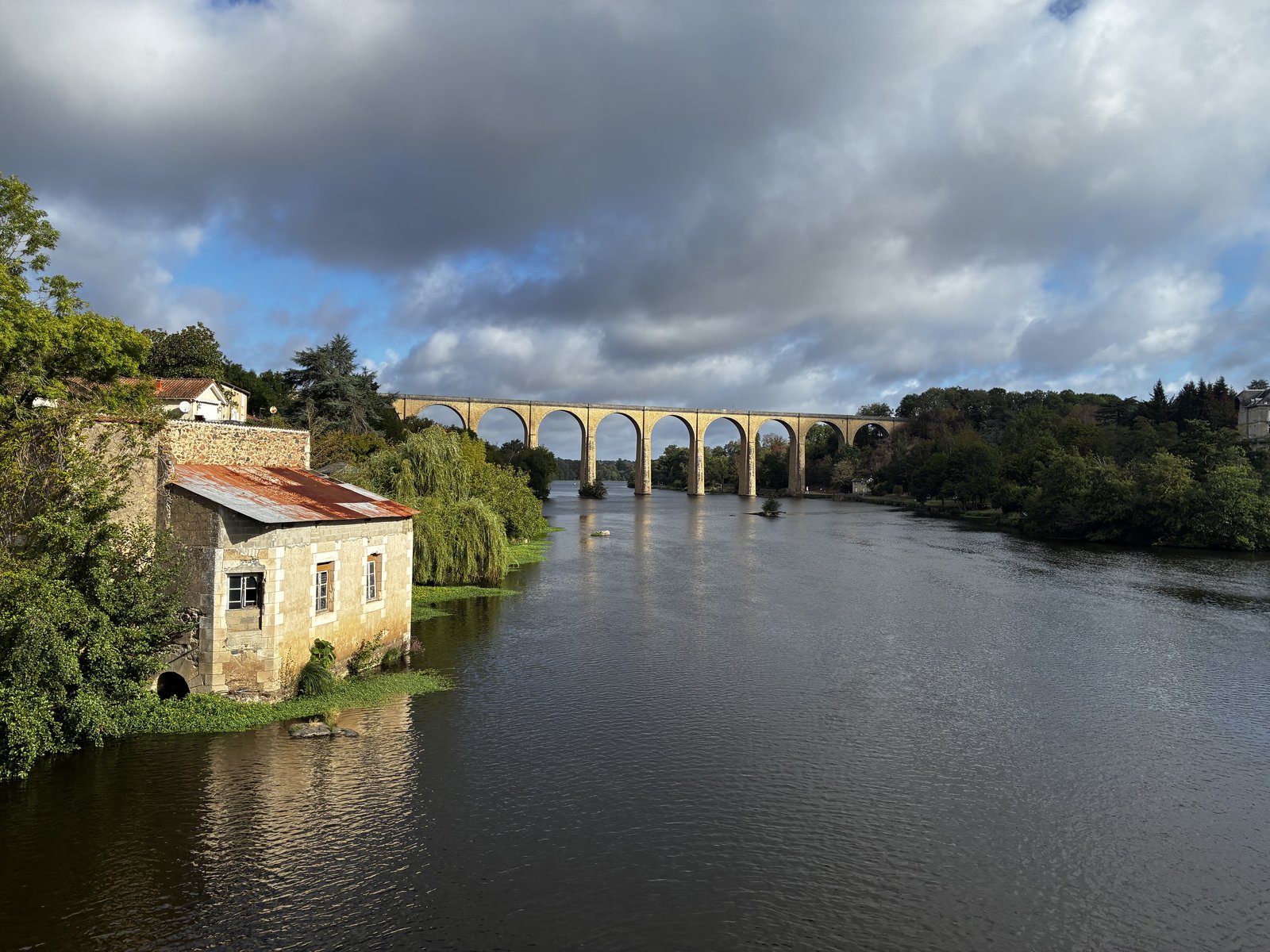
Had the most amazing sleep last night. Totally unexpected, but probably the best sleep I've had in weeks. No doubt played a large part in the feeling of absolute relaxation that I experienced while running today - at the time I remember thinking that my mind hasn't been this calm in a long time. That's exactly why I do these silly runs! We woke at 6am, with breakfast starting from 6.15am - I was keen enough to get there amongst the very first. Three large bowls of coffee and some puffed wheat was what I needed! I then wandered over to the start line to see the first group of runners off at 7.30am, before heading to the tent to pack everything away. The 8.30am start seemed to come up really quickly -- none of the nervous anticipation from yesterday, just a nagging realisation that the second group had to move at a decent clip to get to the first aid station before it closed. I would have like to start a bit more leisurely, but the whole group seemed to keep each other motivated and moving along. The run started in cool air, and we followed quiet roads through farmland. At around the 7km mark there was a stretch of trail with lots of large tree roots running along side of a river. Rather gorgeous! I got a photo with Stephane & Nathalie who were out hiking (they hosted me in Poitiers last year for one night, feeding me the most amazing food while we struggled to communicate!) The first aid station arrived earlier than I'd expected, so none of earlier concern was needed. Reloaded my water bottle, scoffed some fruits & grabbed a handful of chips. We crossed a large viaduct high up above the river and then navigated a crazy route through the town of L'Isle Jourdain, including running through someone's garage onto back streets. Then climbed up some gnarly stairs and got an amazing view of the town and viaduct from on-high. it was then onto some very small country roads, weaving our way between fields, many of which were hidden by trees and thick undergrowth. Very few photogenic moments from here. I unexpectedly caught up with Jennifer (who's a gun runner), and we ran & walked into the third aid station together having a great chat. I stopped at the dunny, she took off, and it took me until the next aid station to catch her again. With four aid stations today, separated by 8-10km, it never felt like a "long" run. The sun however was coming out to play though and I felt the heat on a few occasions, enjoying the brief moments where shade could be found. unfortunately, it's only going to get warmer as the week goes on, so for me (coming from Perth winter) it's a fast-track introduction to summer! On the last leg we got some overcast conditions and then just enough rain to cool us off, for me it was really welcomed. Finished strong, and it turned out to be at exactly the same pace as yesterday! Uh oh, that might mean it's a trend I need to continue. Accomodation tonight is in a very large activity centre, somehow I snagged a room to myself (with private toilet and shower) - it feels positively luxurious (it's a small thing, but in an event like this you never really know if you'll be sharing a room with a one of two people, or in a room of 15 bunk beds! And a hot water shower is never taken for granted!) So, that's two days down. As I write this, the body feels like I've run back to back ultras. But no niggles to complain about & I'm keeping on top of the hydration and nutrition. I'm trying something a little different this race, using a bit of Tailwind to top up the in-race nutrition (as the aid station food doesn't ever seem to be sufficient), and by rotating Tailwind & Bix hydration, I've so far avoided any flavour fatigue. I've not really used Tailwind in races for 10+ years (nor tried it in the weeks leading up to this event) but it seems to be doing the job quite well. Stats for today: 47.67km, 5:36:49, 620m elevation. Photo Gallery
Ultra En Pente Douce Day 1: Saint Savin to Queaux (45.5km)
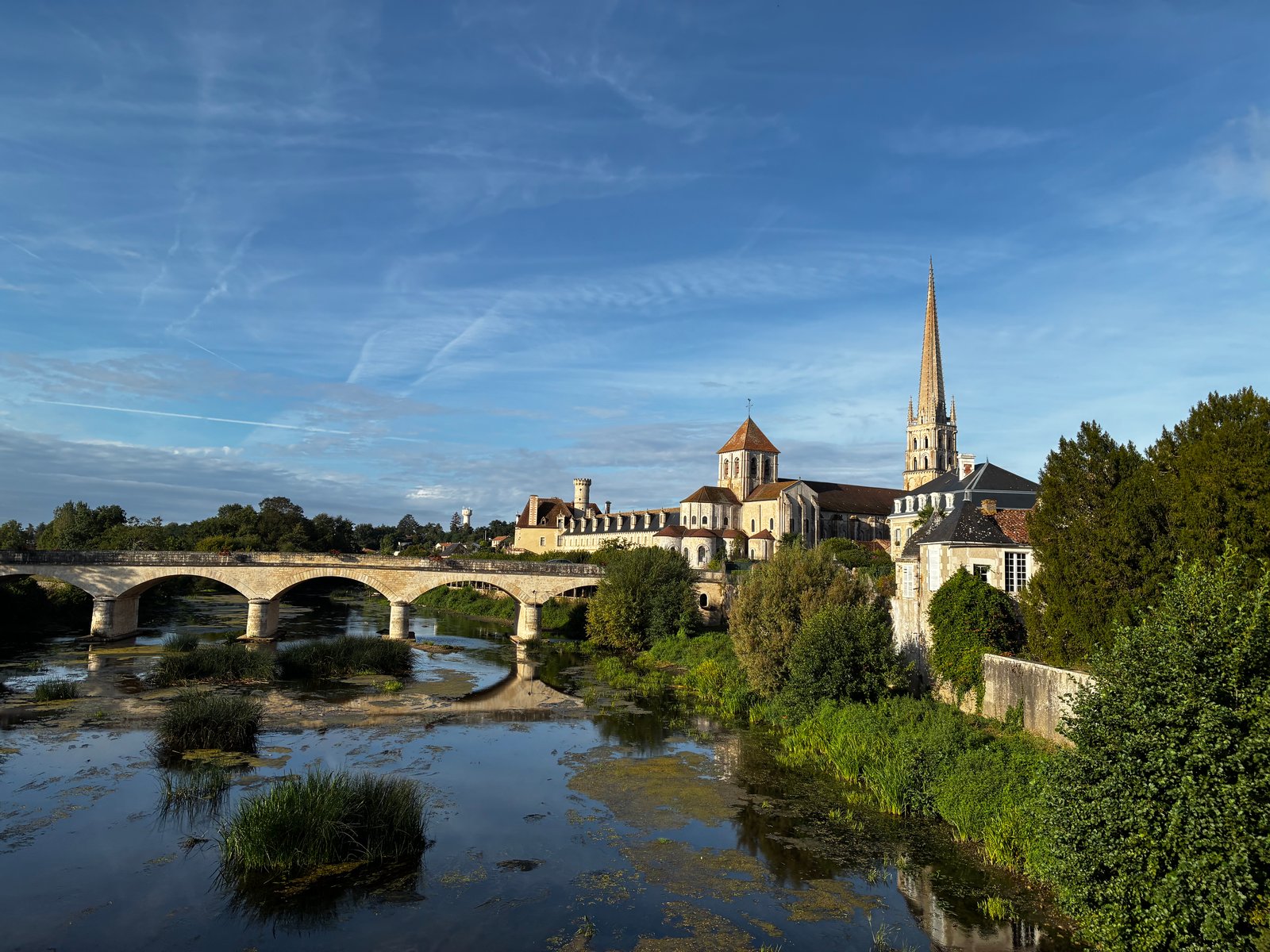
A fabulous start to the race today. Mild weather (max around 20), overcast for the most part, and a little rain. I arrived at the campsite on Saturday evening having had a bit of a travel mishap. My train to Poitiers was delayed by 25min, leaving only a small window to find the (regular scheduled) bus to the race start - got myself in a frazzle and struggled to find where the departure point. Eventually I looked up, saw the sign "Bus Depot" (lols), and made my way there only to see the 12.10pm bus driving out. The next opportunity was either a 5pm bus, or a 4.30 train (requiring a pickup from a different location). Went with the train, got collected by Xavier, and made it to the campsite with time to spare. Many familiar faces from my TransEspana last year, so many smiles. Was introduced to a few others, all of whose names I cannot remember (feel like we should have name tags!). The pre-race briefing started around 6pm, with Gilles going through all the details in French while my phone desperately tried to translate it to English -- I got the general idea! Once done, that we headed downstairs for some appetizers (all runners were meant to bring something from their region -- I brought Violet Crumbles, as the vegmite I brought to TE last year didn't see very popular). I cozied up with a few English speakers - one lovely couple from Germany (with a dog named Shiela), a couple of Dutchies, and Jennifer from the UK. Dinner followed - we had a very tasty meat and veg stew with couscous and wrapped up the evening with a local "Fromage Blanc" (that was basically greek yogurt) for desert. I was bunking with Fabrice, who I knew from last year, and we'd been put up in a hotel about 700m from the campgrounds. So we wondered off there. I slept pretty well, though it was a still & warm night - alternating between blanket and no blanket, while imagining I was being eaten by mozzies (Fabrice just had to mention them before sleep time!) Sunday morning finally arrived, race gear on, and we headed to the campground for breakfast at 7.30am. Some large bowls of coffee and caramel puffed wheat, then an hour of nervous pacing by everyone ahead of our mass start at 9am (after the first day, we are divided into two groups, the "slower" group starting an hour earlier). The course today followed quiet country roads, heading south from Saint Savin. In total around 250m of elevation, meaning very few hills to walk up! I took it super easy for the first 20km, shuffling along and alternating with a fair amount of walking. Taking photos at every opportunity, I was trying my best to not run too quick and just settle into the run. Aid stations were approx 10km apart (3 in total today) for the 45.5km covered - the general aid station fare included boiled eggs, bread with cheese spread, bananas, oranges and rockmelon, chips, biscuits, and bread with fish. I could easily have just carried a hand-held water bottle, but decided to bring the running vest instead - some extra weight perhaps, but it wasn't a bother. We passed through a couple of really gorgeous towns, it's clearly a popular area during the summer vacation, with a lot of campsites along the riverside. Thankfully everyone is back to school and work, so the area is quiet and there are very few cars on the roads. After the second aid station I started running with a bit more purpose - there was a long straight stretch of road that would have been about 2k long, and I just felt in the zone shuffling along at a constant pace. From there I just tried to maintain the same pace, and started passing one person after another. Got it into my mind that I might be able to get my pace to under 7min/km (at the time it was about 8.1kph, maybe 7.4min/km), which gave me some focus -- didn't quite get there in the end but felt really good about how I was able to just push out the second 20km without too much fuss. After finishing we had to cross a river on a hand-pulled pontoon. This required first pulling the boat across from the other side by dragging a chain (which took quite some time), and then about 8 of us got onboard and pulled the other chain to cross. Pretty cool way to wrap up the day! Accomodation tonight was in a large canvas tent, it's split into a living space, a bedroom with a double bed (shared by a couple with their dog Max), and another room with a single room and a bunk bed. Stats for today: 45.53km, 5:21:34, 326m elevation. Photo Gallery
The Salvado Trail
The Salvado Trail (also known as the Pilgrim Trail and the Camino Salvado) was inspired by the memory of Dom Rosendo Salvado, the Benedictine monk who founded the town of New Norcia in 1847. It covers 174km of urban and bush trails, starting at St Joseph's in Subiaco and finishing at the Benedictine Monastery in New Norcia. It traverses multiple national & regional parks, including Walyunga NP, Avon Valley NP, Moondyne Nature Reserve & Julimar State Forest. Over the past 10 years, I've had thoughts of running this trail end to end, having first becoming aware of it back in 2012 when Bernadette Benson blogged about her self-supported multi-day fast-hike. An idea started to form earlier this year that this would be a good way to motivate myself to rediscover my running groove (ahead of some European races in August & September). With the help of super-coach Rob Donkersloot (who himself has run this trail over multiple days, in both directions!), I rebuilt my fitness with some really solid training through April and the first half of May. Unfortunately, towards the end of May a few niggles started, including return of shin splints in my left leg, leading to a focus on rest & rehab. Then a very painful lower-back in the week prior had me questioning whether this would be possible, but thankfully that resolved itself just in time. I'd registered the route on the Fastest Known Times (FKT) website thinking that if I completed it I could claim the Fattest or First Known Time by being the first (that I'm aware of) to get in done in a single end to end effort. I'd driven most of the route over the previous couple of months and also run the first 42km in training, so felt like I had a pretty good idea of what to expect. Harmony very graciously offered to crew me through the journey, and I got the (not so) new Pajero all decked out for the trip. Subiaco to Bells Rapids (0-42km) I lucked out with it being the perfect day for a run, the sky was clear and the rain had gone away. But it was also the shortest day of the year and bloody cold! Well before the sun was up, I caught the train to Subiaco, just about freezing to death as I made my way from one line to the other in Perth. Arriving at Subiaco Square (adjacent to the starting point) a little earlier than anticipated I had some time to relax, snacking on a on a croissant and cappuccino in an attempt to get warm. I made my way over to St Joseph's, took a couple of photos inside and out, and got underway at 8.30am. The plan was to run on my own until ~42km, meeting super-crew Harmony at Bells Rapids. I had run this section back in early May as part of my training, but the scenery still blows me away. Making my way along the railway line until reaching the city, then following Hay St through the mall, passing St Georges Cathedral (by Royal Perth Hospital), through Wellington Square and the East Perth inlet. I then followed the northern riverside path through Maylands, Ashfield and Bassendean (where some impressive mcMansions can be seen!) Crossing the Swan River at Guildford Rd, then through Stiring Square and by St Matthew's Church, and heading onto West Swan Rd passing the Seminary Chapel of Saint Charles Borromeo. From here, it's a long steady slog North before eventually turning East and crossing the river. Harmony and Juliet appeared unexpectedly which was a nice suprise! Had a quick chat, but wasn't in need of anything at the time. With the plan to meet up again at Bells, Harmony took Juliet off to school. After crossing Gt Northern Hwy, there was a long bitumen stretch parallel to the railway line before passing the horse at Brigadoon and onto Cathederal Ave into Bells Rapids. Harmony met me here, and I changed into trail shoes while grabbing a bag of cheezels. I was aware at this point that I'd become quite dehydrated over the previous 5h, but the impact of that hadn't quite caught up with me (I was still feeling pretty bouncy!) Bells Rapids to Shady Hills (42-55km) This is a lovely section of trails. From Bells, I followed the river until arriving at the first carpark in Walyunga National Park. It's only a few km, pretty flat but requires a fair bit of attention - having just run for 5h+ on bitumen, I took plenty of care to avoid tripping. We hadn't had a lot of rain in the previous week meaning this section was fairly dry, but had there been a lot of rainfall I would have needed to use the adjacent fire trail (which is really hilly). Nearing Walyunga, the trail had been dug up following the fires last December, and rather than being narrow and twisty there is now a wide fire break / trail to follow. I met Harmony at Walyunga and topped off my supplies. Then the fatigue really started to hit me here. Making my way through Walyunga meant a few decent hill climbs - these are hills that I'm really familiar with but I don't often find myself hitting them with 50km in the legs already. It was a struggle, and for the first time I started questioning my life choices! There was a lot of walking, even on the downhills, and I realised that I really needed to get some calories in. As I emerged into Shady Hills, Harmony was waiting for me on the roadside and made me a fabulous chicken and salad wrap. I probably should have had this back at Bells! Shady Hills to Avon Valley NP entry (55-70km) Leaving the bush tracks, this next section was a mix of bitumen road and horse trails. It's undulating, but very runnable until the final climb to AVNP: the elevation profile shows it being a gentle downhill until that last climb. If only my legs had been in the mood to run. It was a bit of a slog to be honest. The initial bitumen stretch through Shady Hills was quite busy with more cars than I'd expected (being late-afternoon, it was probably people coming home from work). Out of Shady Hills, it's onto a sandy bridle trail section - that was mostly runnable (ha), and was grateful that for the most part the sand wasn't too soft. Then, onto probably the only "bad" section of the entire trail with several km's of running on the roadside. It had been a frequent topic of conversation between myself and Harmony that this was a leg to be really cautious about. The sun was going down and it was getting late in the day, but as it turned out, I saw very few cars and had nothing to worry about! Harmony met me along here with a Macca's cheeseburger which I very graciously accepted (and then struggled, big time, to eat it). I still wasn't on top of my dehydration issue from earlier in the day, and was trying to drink as much water as I could. Reaching the bottom of the climb to AVNP, I took a break, changing my shirt and getting into some warmer clothing. By now the sun was down so on went the headtorch. I ditched my backpack and opted to run with a handheld bottle for a bit. Urgh --- that hill. It'd be a good one for training for Coast to Kosci! An unrelenting climb at around 10%, I was knackered. Fair to say I was grateful to get that done. I met Harmony half way up for a water top-up and again at the very top, where it was time for something warm to eat. It was time to say goodbye to the bitumen. By this point it was really dark and getting damn cold. Avon Vally NP (70-84km) The wheels unfortunately really started falling off through this section. Which is a shame - because it was super-runnable. This entire section is a nice wide 4wd dirt track full of puddles (requiring some caution at this time of year, some are deep!) Harmony met me every few km, where I'd sit down for a drink or something to eat. Mentally, I was struggling. Something about it being dark by 6pm made it seem like I'd been on my feet for much, much longer. I had managed to re-hydrate myself really well (perhaps too well), and was moving along slowly. After a few stops at the car, I was on the last ~3k section to the edge of the park when the shin pain decided to re-appear. It went from the occasional ping to "nah mate, you can't run on this" almost immediately. I kept trying to change it up from a walk to a shuffle, but the pain would return and I was immediately back in Spain last year when that adventure came to an end. I wasn't able to maintain enough movement to keep warm, and by the time I met up again with Harmony, decided it wasn't really worth pushing on further: we were around half-way, and while I could maybe have maintained a 5-6kph pace and got it done, I decided it wasn't worth taking the risk of a more significant injury ahead of adventures in Europe in a few months time. A little bit of a disappointing result, but such is life. I'll be back to try it again in the near future :-) In the end, I covered 85.37km in 12:47. A huge thanks to Harmony for accompanying me through the day. Photo Gallery